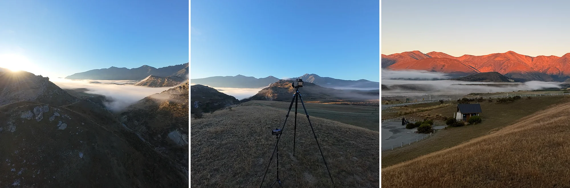
Arthur’s Pass, one of New Zealand’s most spectacular alpine passes, cuts through the Southern Alps, connecting the West Coast to Canterbury. Named after Arthur Dudley Dobson, who first surveyed the route in 1864, the pass is still a vital link between east and west. Its dramatic landscape features steep gorges, beech forests, and limestone formations that have been sculpted by millions of years of geological activity.
Into the Pass
A few weeks earlier, while shooting locations around Lake Coleridge, I found myself drawn to the landscapes of Arthur’s Pass. While the light was not great in the middle of the day, my time wasn’t wasted. I was able to research three promising locations: the Cave Stream Scenic Reserve; the Hawdon Valley; and the beginning of the Waimakariri River.
Cave Stream Scenic Reserve
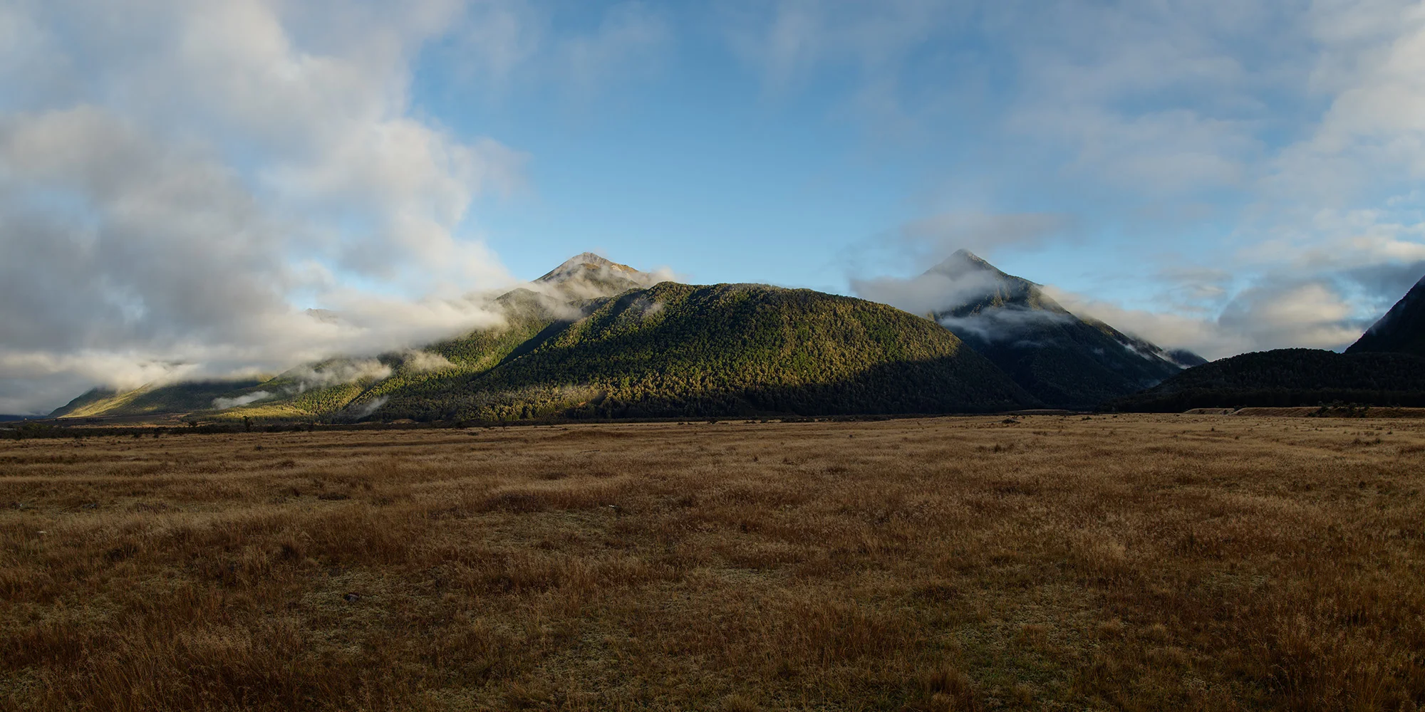
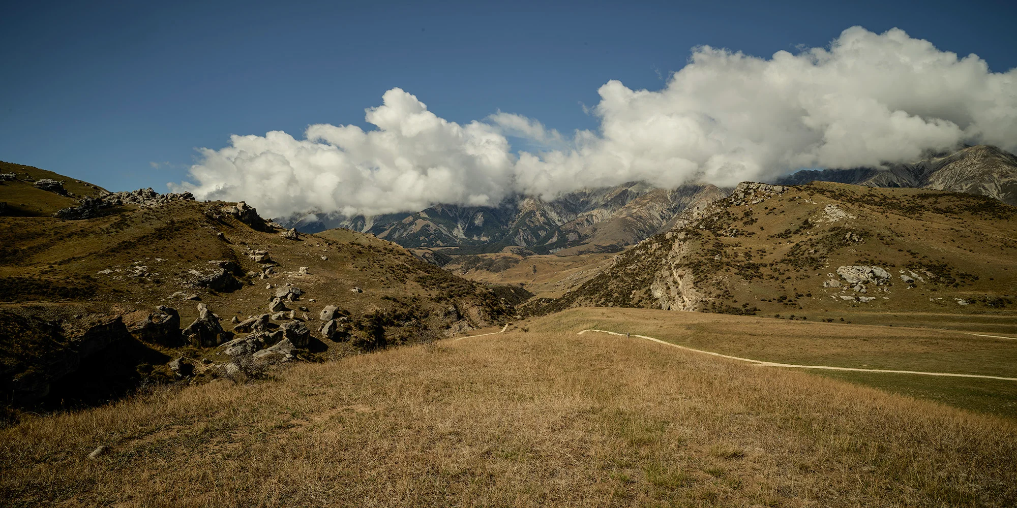
Hawdon Valley – Looking back to Arthurs Pass
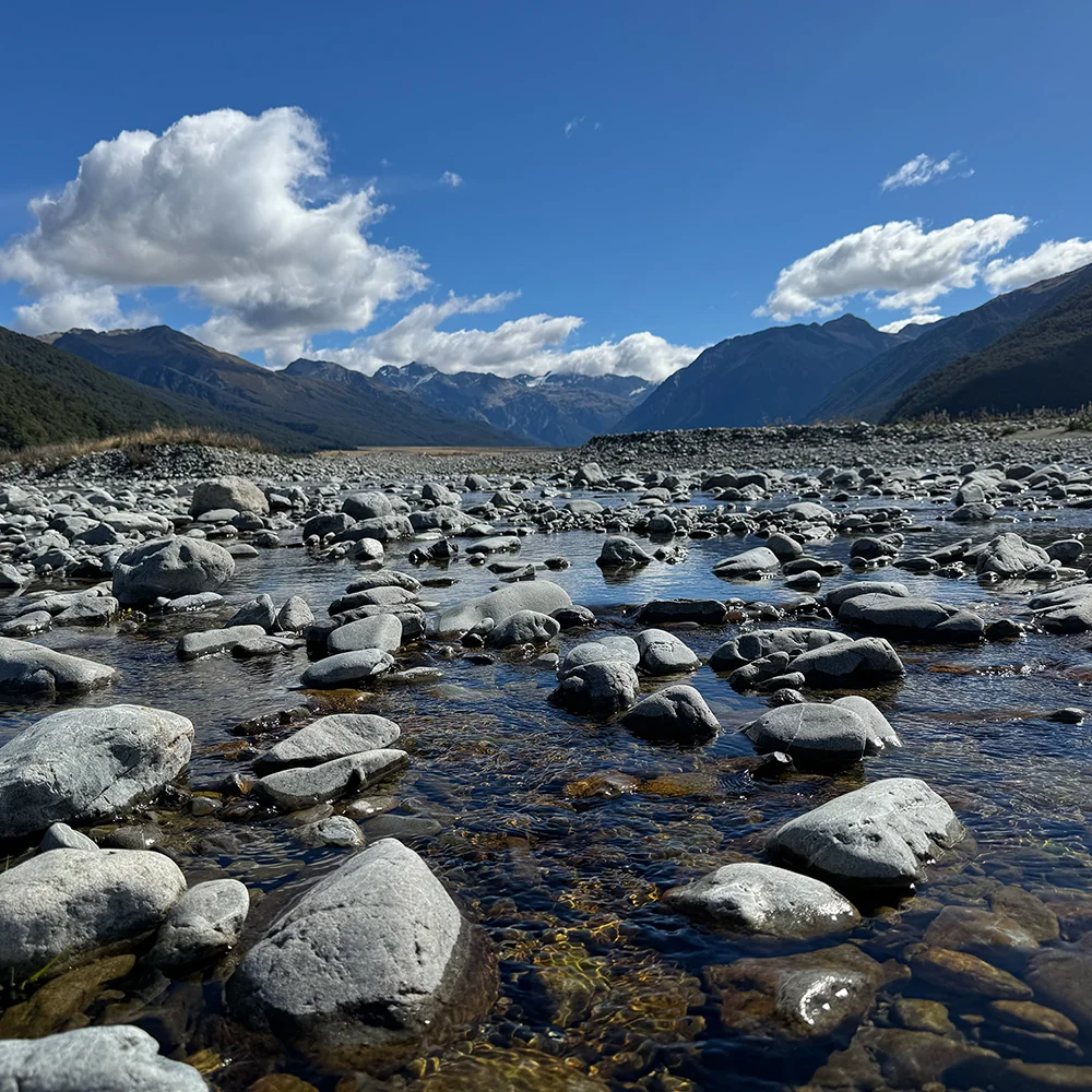
Waimakariri River – Near the start of O’Malleys Track
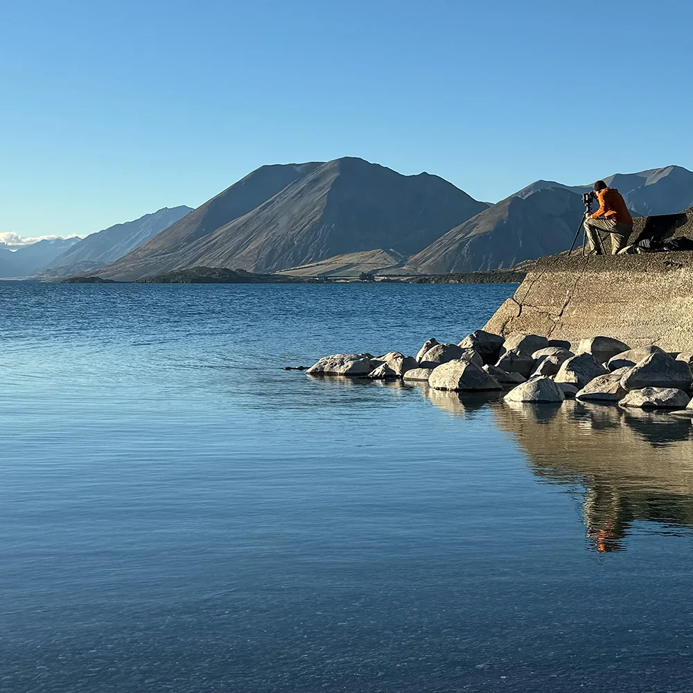
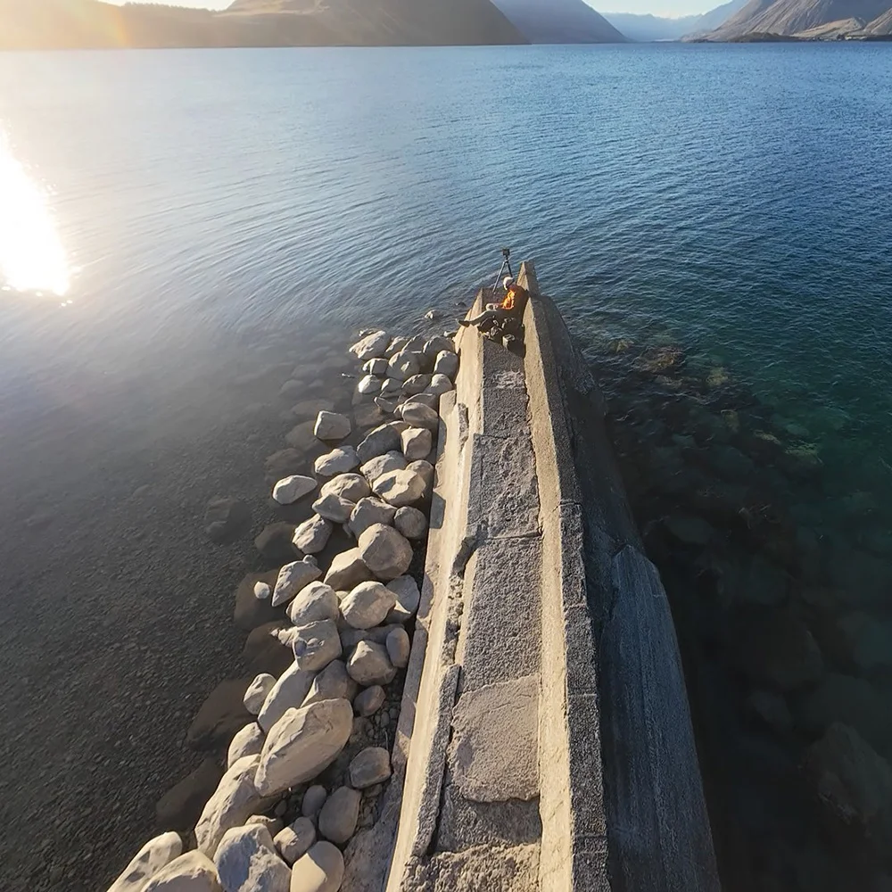
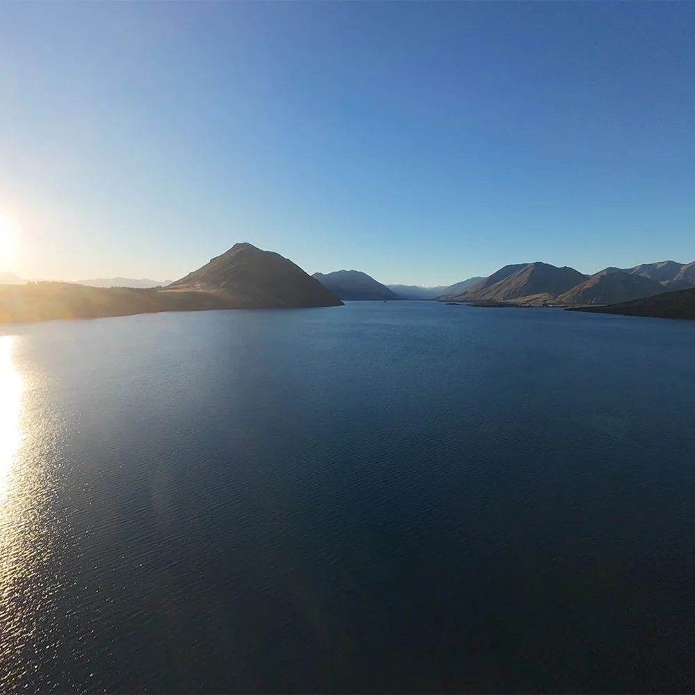
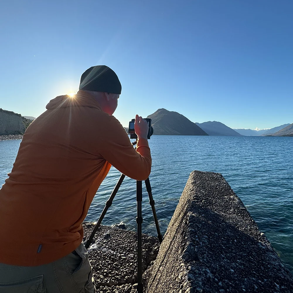
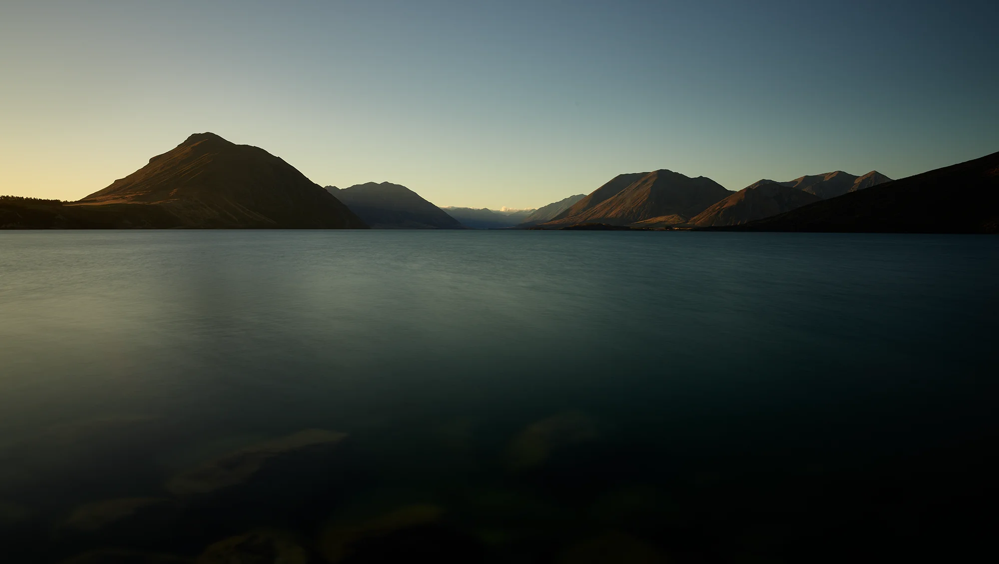
My “recce mission” proved invaluable, providing me with precise shooting locations and light tracking for my return visit. But first, I had unfinished business at Lake Coleridge. Setting up at the intake, I waited for the sun to sink lower, taking advantage of the downtime to send the drone up for an aerial view.
Lake Coleridge just before sunset
The resulting sunset shot was very good, but something told me the sky could offer more drama.
The final result just after sunset
Two weeks later, I found myself checking into a cosy hut at Castle Hill Village. The weather gods had other plans for my first day, and I arrived to find everything covered in a thick blanket of fog. But as any photographer knows, sometimes the most challenging conditions lead to the most rewarding shots.
The dance of light and fog
The next morning, Cave Stream remained shrouded in fog, prompting a detour to the Hawdon Valley. A local fisherman confidently predicted blue skies by 10 AM, but fortunately, the fog had its own timing in mind. The resulting images capture that magical dance between clarity and mystery that only mountain weather can provide.
The Hawdon Valley late morning
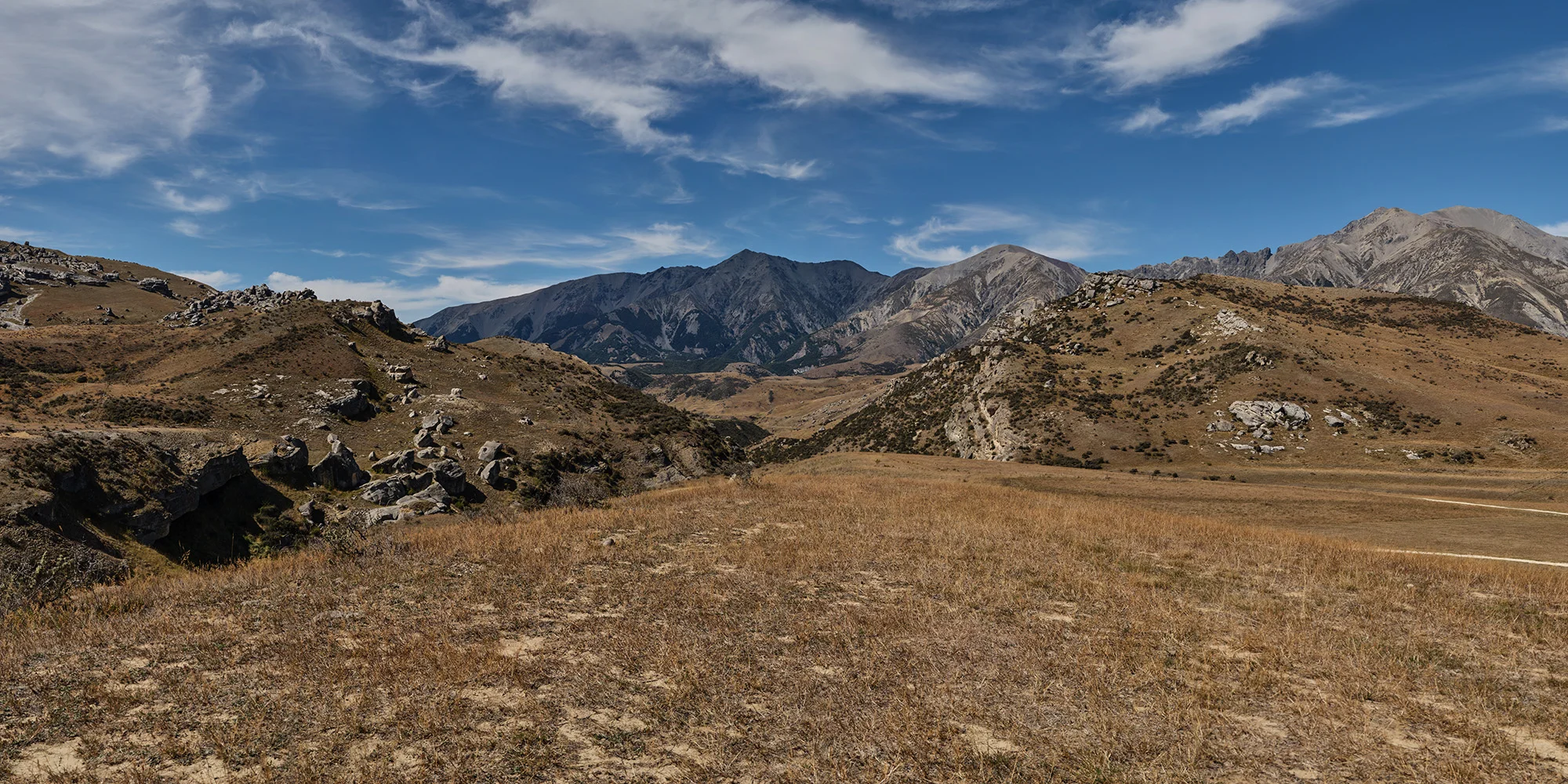
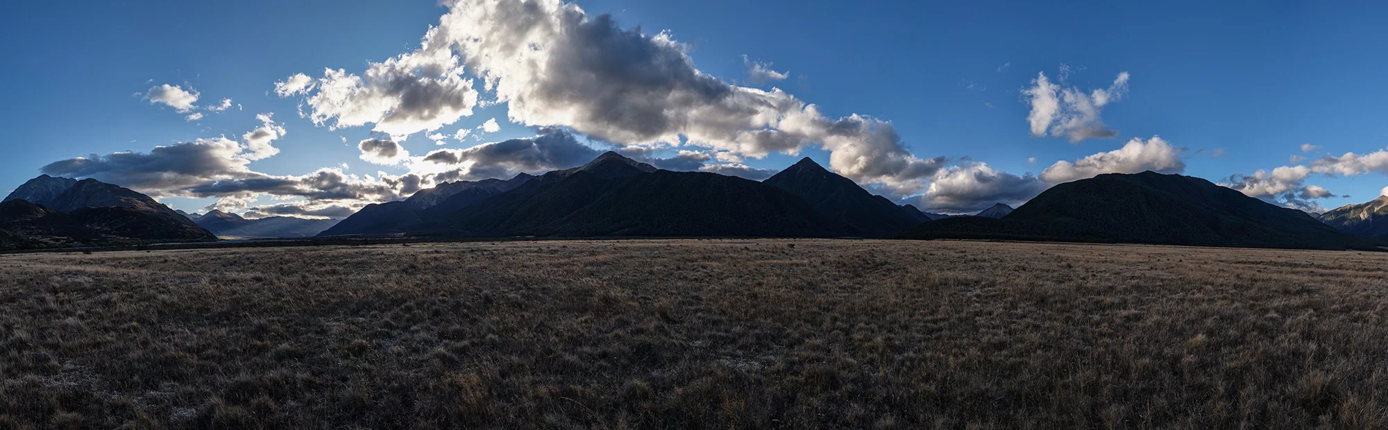
Same spot late afternoon – Panorama stitched with 6 individual shots
The day then became a precisely orchestrated ballet of location-hopping. Cave Stream revealed itself as a definite early morning shot.
Cave Stream – late morning
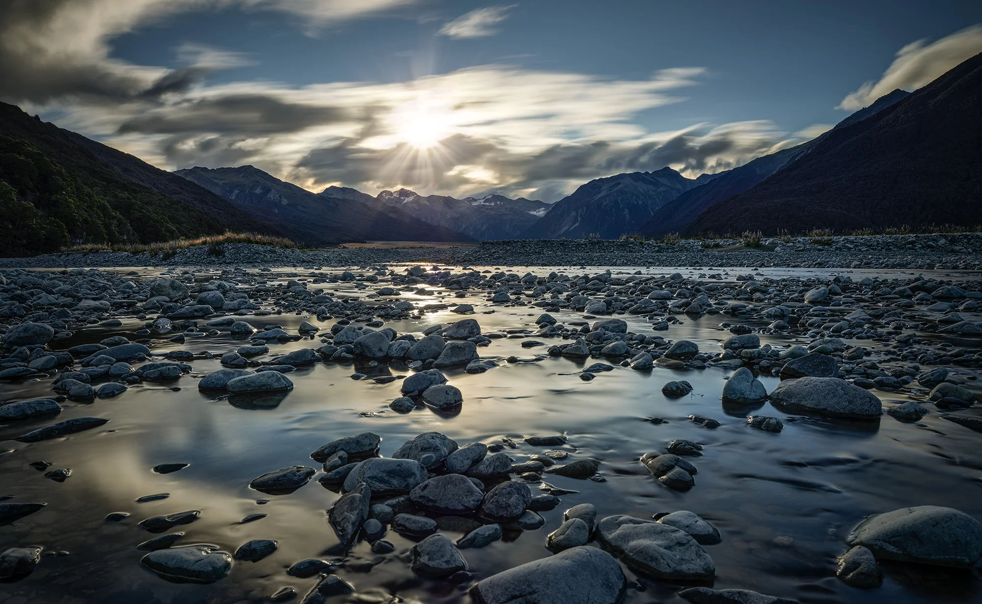
The Waimakariri Valley required patience – my preferred approach of arriving early and waiting for the perfect moment rather than rushing between locations paid off with some spectacular sunset shots.
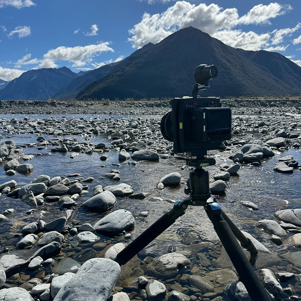
Early setup at the Waimakariri River
A couple of hours later with the sun about to set
Above the clouds
Waking to dense fog, I drove around the corner to find my final location floating above a sea of clouds.
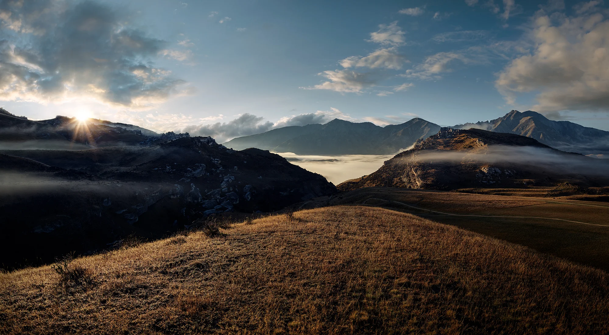
A chance encounter with a shivering motorcyclist led to an amusing conversation about the 2-degree temperatures while Castle Hill Village remained hidden in the fog below. As the sun pierced the horizon, everything came together for that one perfect shot that made all the planning, driving, and waiting worthwhile.
Final result with the sun popping up
In three days, I drove Arthur’s Pass at least ten times, covering about 800 kilometres—but every kilometre was worth it. This pass through the mountains, with its ever-changing moods and endless photographic possibilities, has firmly secured its place in my top ten South Island locations.
Will I return? Absolutely. In landscape photography, each visit brings new conditions, new perspectives, and new opportunities. Arthur’s Pass, with its dramatic topography and changeable weather, ensures no two shoots are ever the same.